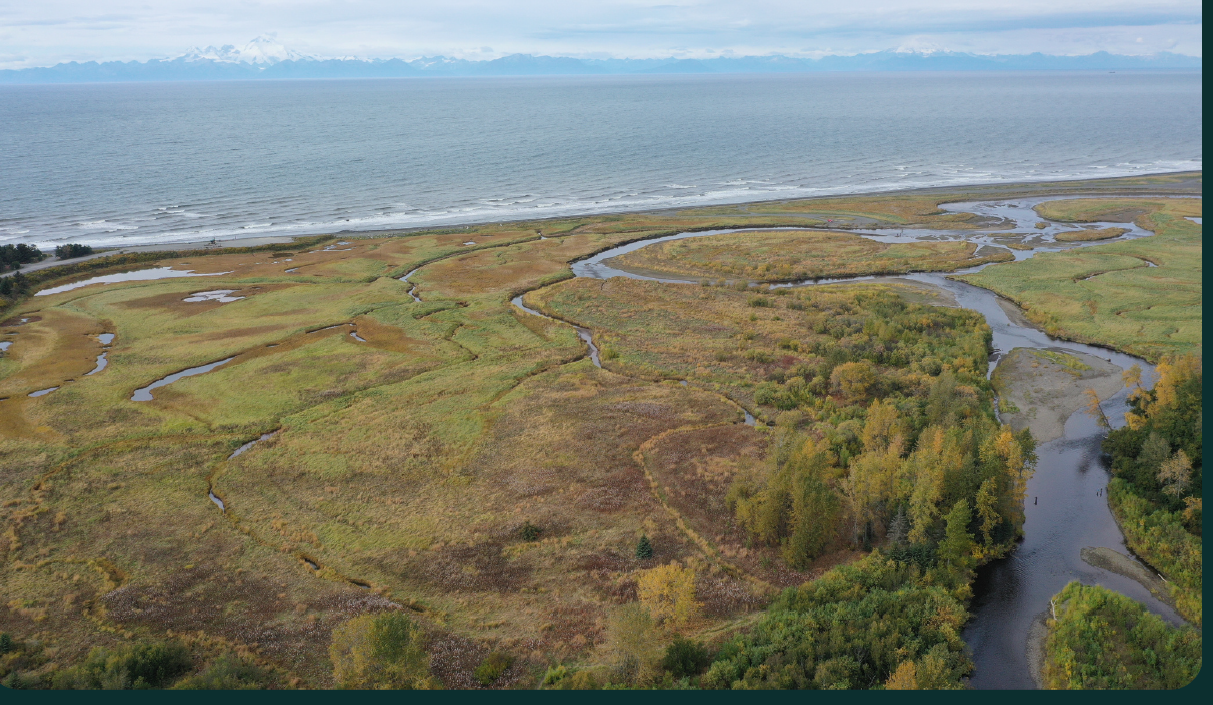
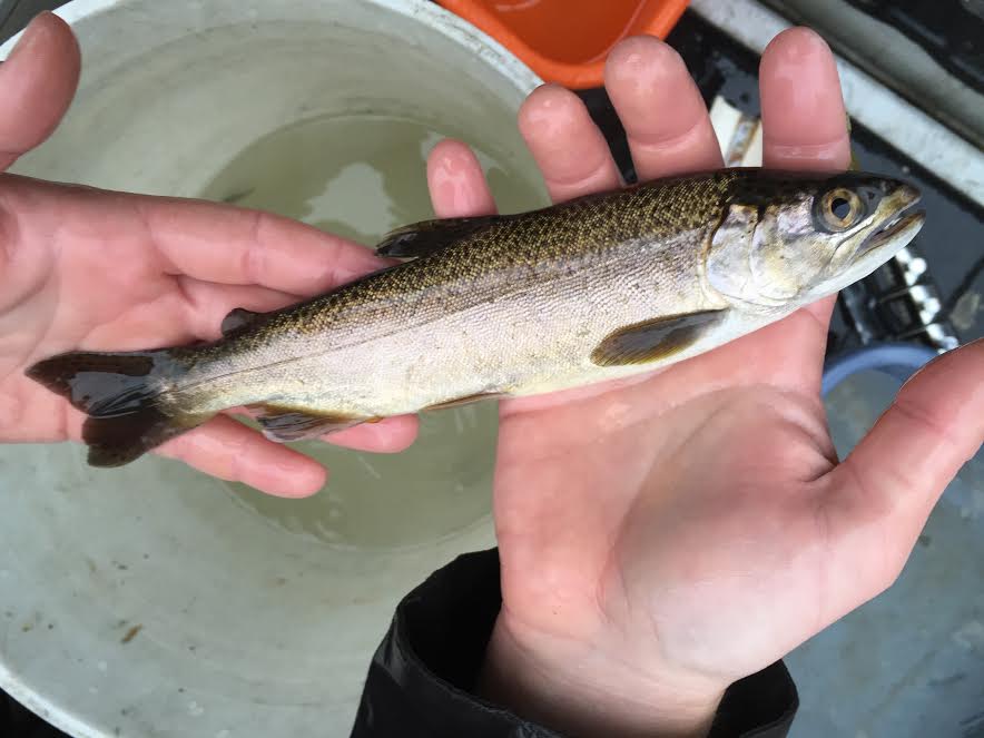
Located two hours north of Anchorage near Talkeetna, Alaska in the Matanuska-Susitna Borough, Montana Creek supports a highly popular salmon and trout fishery that draws people from not only Mat-Su, but also Anchorage and out-of-state visitors. It is one of the more productive clear-water tributaries to the Susitna River. The Susitna River drainage supports significant recreational fisheries even for Alaska standards of native runs of Chinook and coho salmon, as well as resident populations of rainbow trout and arctic grayling.
Montana Creek’s high quality spawning gravels and provide critical spawning, rearing, and overwintering habitats for Chinook, coho, pink, and chum salmon in the fastest growing area of the state that his home to 8 of the 13 statewide stocks of concern. These stocks include Susitna River basin sockeye salmon and seven stocks of Chinook, including Goose Creek Chinook (enters the Susitna just downstream of Montana Creek).
What are partners doing to restore, conserve and increase information about Montana Creek habitat and its fish populations? See below for some project highlights:
Fish Passage Improvements & Assessments
Fish passage in the watershed has been assessed and since Montana Creek is crossed solely by bridges, the program focused on opening the largest tributary to it, Buddy Creek. Two barriers exist on Buddy Creek, one fixed in 2013 and one currently in design phase. In 2013 two 5-foot diameter culverts causing a fish passage barrier and constricting 16-foot wide Buddy Creek (Montana Creek’s biggest tributary) to 10-feet at Katahdin Street were replaced with a nearly 20-foot wide embedded fish-friendly culvert that lets juvenile and adult salmon move freely under the road and access an additional four miles of spawning and rearing habitat upstream (see photo section below). Partners included the U.S. Fish and Wildlife Service, Mat-Su Borough, and Alaska Department of Fish and Game. The one remaining fish passage barrier is undersized and badly damaged where it flows under Sawyer’s Shady Road—the partners have received funding to install a fish-friendly culvert in 2015 (in design).
In 2013, the Alaska Department of Fish and Game, with technical support from the U.S. Fish and Wildlife Service and funding from the Alaska Sustainable Salmon Fund, marked juvenile salmon with passive integrated transponder (PIT) tags and observed their movements in the vicinity of the remaining Buddy Creek barrier. This data—to be collected before and after the last barrier is replaced with a fish- and flood-friendly crossing, will test the effectiveness of similar projects in improving habitat connectivity for juvenile salmon. This study will continue in 2014 and be completed after culvert replacement in 2015.
Streamflow and Water Reservations
Montana Creek is a long-term U.S. Geological Survey National Streamflow Information Program site and the Mat-Su Salmon Partnership has help fund gage operations over the past 5 years in support of its water reservation application (status of application pending).
Riparian Conservation
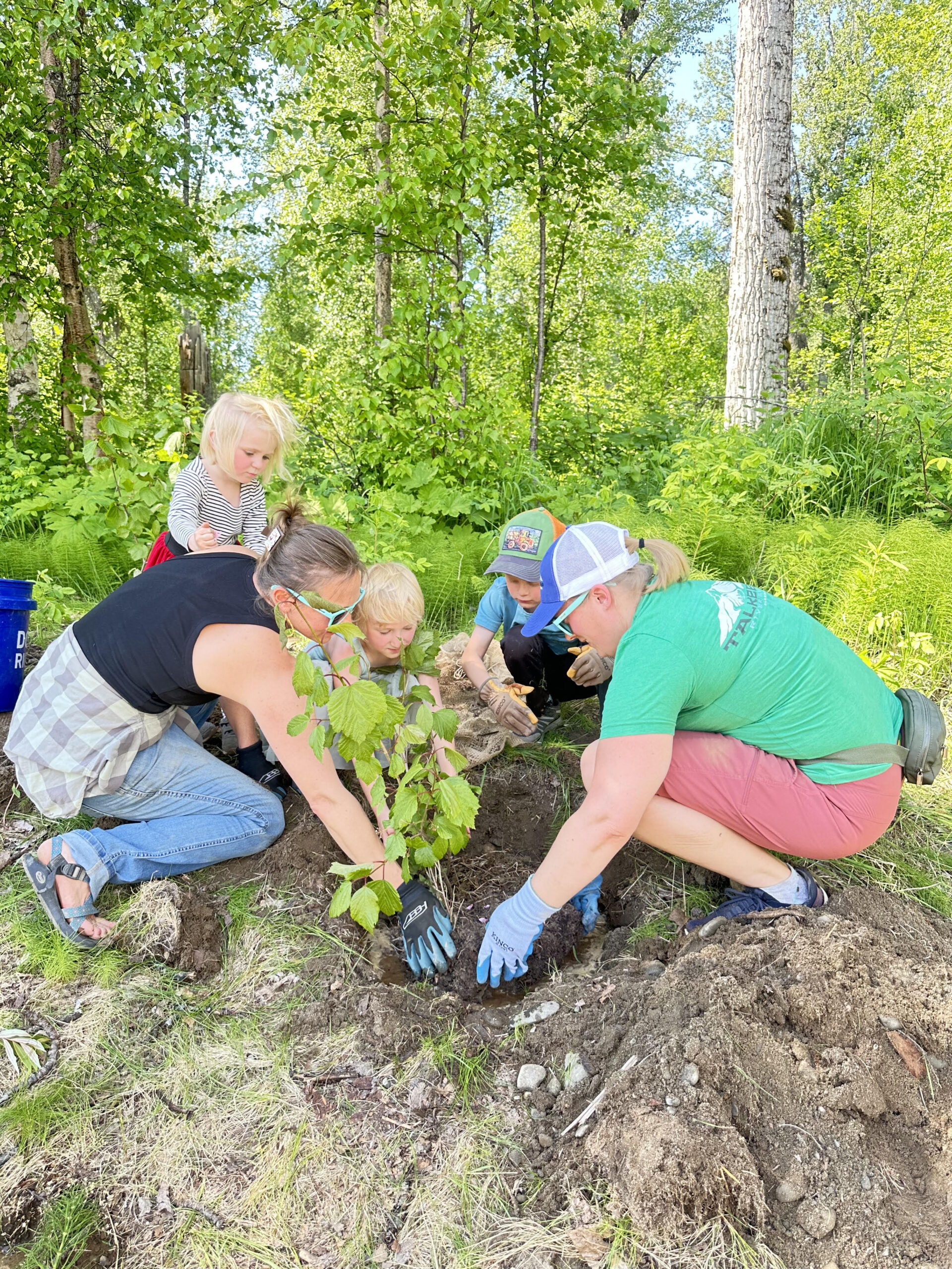
Conserving and restoring riparian habitat is a priority of the Partnership and Montana Creek is one of the Partnership’s focal areas due to the heavy angling and all-terrain/off-road vehicle use it receives. Other issues include landowner development into the floodplain and erosion following a 100-year flood in 2012. Concern has been raised over the loss of habitat within the lower river due to intense recreational use and the potential for residential development to further the loss of riparian habitat and to degrade water quality. Due to these concerns, the Alaska Clean Water Action Plan (ACWA) prioritized Montana Creek for the assessment of current water quality and habitat conditions. Partners to date include the Mat-Su Borough, Great Land Trust, U.S. Fish and Wildlife Service, Alaska Department of Fish and Game, Aquatic Restoration and Research Institute (ARRI) Institute, and others.
ARRI evaluated the degree of bank and riparian area modification due to recreation and development and characterized the chemical, physical and biological characteristics of the stream nearly a decade ago. In 2012, nearshore salmon habitat and riparian function were rehabilitated along 30 feet of Montana Creek’s bank with bioengineering, and additional sections in need of restoration were identified. Also in 2012, flooding resulted in large areas of bank erosion that are still being worked on to repair. As a priority salmon stream of the Partnership, Great Land Trust is also prioritizing important riparian land parcels for future conservation actions.
Mat-Su Stream Temperature Monitoring Network
Cook Inlet Keeper extended their work on the Kenai Peninsula into Mat-Su, documenting cold and warm stream temperatures and streams that may be more vulnerable to decreased quality of fish habitat in the face of climate change. This project consisted of monitoring temperature (air and water) during the open water period on an existing network of 21 non-glacial streams in the Mat-Su basin, including Montana Creek for a period of five years (2008-2012). Numerous exceedances of the State’s water temperature criteria for protection of fish were documented. Synthesis Report
Partners (include but are not limited to):
US Fish & Wildlife Service (USFWS)
Matanuska-Susitna Borough
Alaska Department of Fish & Game (ADF&G)
Alaska Sustainable Salmon Fund
US Geological Survey
Great Land Trust
Aquatic Restoration and Research Institute(ARRI)
Cook Inlet Keeper


